As Cyclone Michaung ripped through Chennai and surrounding areas, and news about localities getting inundated with heavy rainfall started coming in, and a few affected residents narrated their ordeal online. As the day wore on, there were many calls for rescue and relief from citizens stranded in waterlogged areas.
Meanwhile, a group of researchers from IIT Madras were doing their bit by giving real-time weather information on social media. They also urged people to record flood information in their localities on the chennaiwaterlogging.org portal. Their efforts seem to have paid off because as many as 1,200 users recorded the waterlogging depths in different parts of the city from December 4th (first day of heavy rains) to December 5th, with many more doing so over the next few days. In a city tormented by cyclonic storms triggering heavy rain and floods, this initiative could help address the perennial issues of poor flood management and suggest remedial measures to civic authorities.
What is this portal?
Developed by a team from the Centre for Innovation and the Department of Civil Engineering at IIT Madras last year, the chennaiwaterlogging.org portal allows researchers to collect waterlogging depths for Chennai and this data helps find out which of the areas in the city are hotspots for flooding. Since the initiative was launched, around 2,000 people have logged in the water depth in their localities.
“Initially, we did not get much data because not many people were logging in. But, this time during the floods many residents recorded the water depths in their localities. During a flood situation, we may not be able to reach the place on time to take actual measurements, so the idea was to have a citizen-driven initiative that will give us data, which will help build our flood forecasting model and validate the results,” says Dr Balaji Narasimhan, hydrologist and Professor, Department of Civil Engineering (Hydraulics and Water Resources Engineering), IIT-Madras.
This is how it works—when you get into the portal, it will show a man standing with a car or bicycle and there is a slider which will go up and down with which the user can mark till where the flood water may be standing. The user can also add a photograph of the inundated place. When this information is entered, the website will ask for the person’s location access and then the information is submitted.
Read more: Urban floods: Why some areas in Chennai are worse hit than others
“The advantage of this system is that the user does not have to download an application or login to the website to record the data. You can straight away type in the information and the portal will calculate the depth in centimetres. A map icon on the top right corner when clicked will show how many people have loaded the data. All the data that is put in can be seen on a real-time flood map and is viewable for public within 24-hour’s time window,” says Kirthiga Murugesan, Ph.D Research Scholar, Environmental and Water Resources Engineering Division at the Department of Civil Engineering, IIT-Madras.
Forecasting the flood

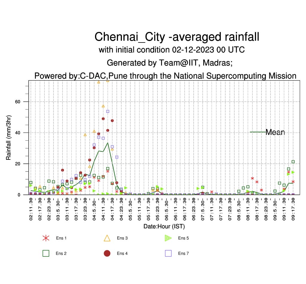
The waterlogging initiative is one of many efforts to study and manage flood in the city by the group of researchers headed by Dr Balaji Narasimhan. One of the important outcomes of their research is a high-resolution regional weather forecasting model with 7 ensemble members run at 4-km spatial resolution developed by Kirthiga as part of her thesis. The outputs are integrated on pilot basis with the Real-Time Flood Forecasting & Spatial Decision Support System (RTFF & SDSS) funded by Tamil Nadu Urban Infrastructure Financial Services Limited (TNUIFSL).
The team has been sharing daily forecasts for next seven days at Chennai basin scale and Chennai city scale with the Greater Chennai Corporation (GCC) and the Water Resources department to help in flood mitigation, along with the waterlogging data. The forecasts have demonstrated better accuracy, especially during extreme events in 2021 and 2023, providing valuable insights into the variability of rainfall intensities within the city and offering a reasonable lead-time for planning response actions.
Read more: In Chennai’s resettlement colonies, life comes full circle with the floods
“Apart from the fact that people can plan their travel around the city or organise for relief and rescue based on the inundation data, in the long run, the government can use this information for flood-related initiatives and to enable more research towards managing flooding issues in Chennai,” says Kirthiga.
“We don’t have a good amount of ground data to understand how our river basins or watersheds behave for different kinds of rainfall events, so that the intervention we develop, design and engineer would be commensurate with that. So, when we develop any of the numerical models that mimic our watershed behaviour, we have to verify and validate it with observed data. The information we get from the waterlogging portal helps us do that,” says Dr Narasimhan.
Once a good flood forecasting model is built, it can help the team suggest viable solutions to the government in designing stormwater drainage (SWD) and flood management systems, plan pumping solutions in some areas, open up green space, clear encroachments to avoid flooding and so on.
The way forward
“Our team is right now in the process of going to different places marked on the flood map and trying to find the high water level marks before they get erased. We want to take at least 10 measurements from every ward, so that we can have 2,000 measurements from all over the city. All this collated information will allow us to verify and validate the model we are developing,” he adds.
In the long term, the team wants the authorities to integrate this portal with the GCC website, so it will be useful in rescue, response and complaint redressal for flood-related issues. And also use the information to develop a master drainage plan for the city.
“The chennaiwaterlogging.org is a good initiative that offers insights for researchers on flood forecasting and it can help in building better forecasting models and validating the results. But, crowdsourced flooding data in itself may have limitations because only those who are aware and have access to technology are able to feed in the information. Which means that a large part of the population (and the areas they live in) may be left out in this exercise,” says Raj Bhagat P, GIS and Remote Sensing expert.
“Moreover, this kind of initiative should be led by the government where they train the councillors, engineers, and general population of the place to feed information from every ward that they are responsible for. So, it needs to be more democratic and inclusive,” he adds.