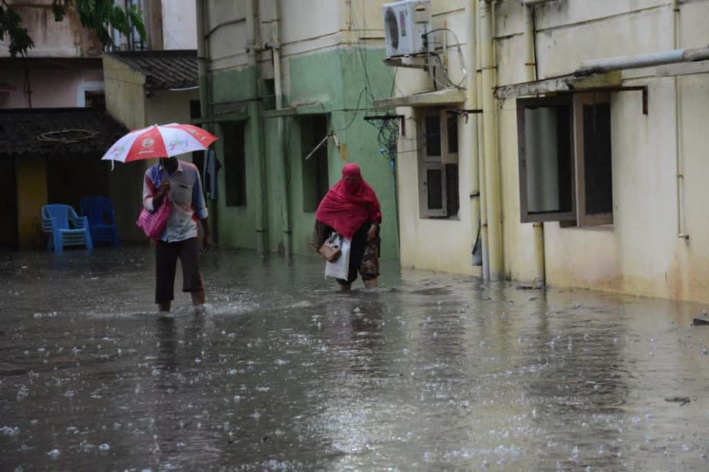
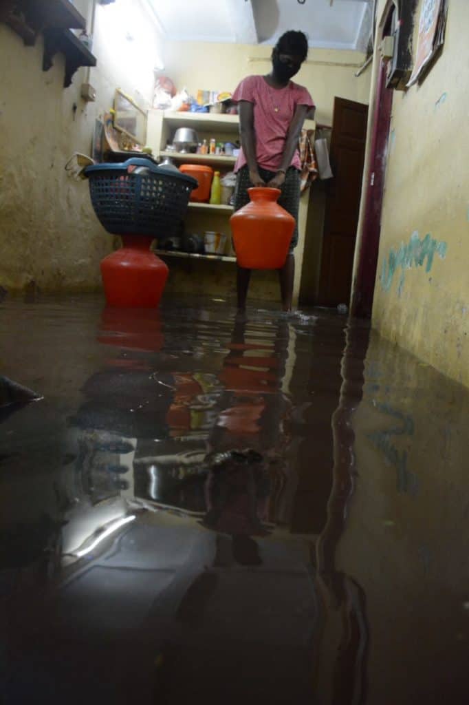
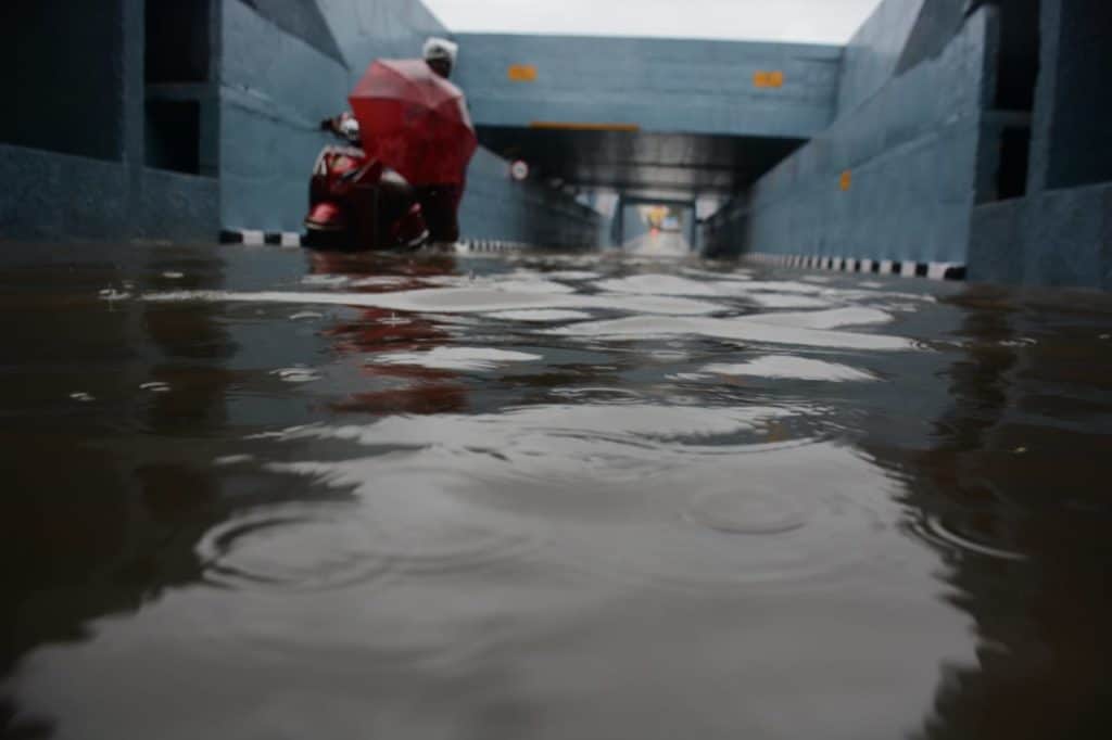
On October 28th, the northeast monsoon set in over Tamil Nadu and Kerala. On the 29th, Chennai recorded the highest amount of rainfall in 24 hours since November 2017, as called out by weather expert Pradeep John.
| Area | Rain (in cm) |
|---|---|
| Mylapore (DGP office) | 18 |
| Anna University | 14 |
| Redhills Lake | 13 |
| Chennai district | 13 |
| Alandur, Sholinganallur | 8 |
| Ambattur | 9 |

But the writing has been on the wall for some time. A study titled ‘Future changes in precipitation extremes during northeast monsoon over south peninsular India’ by Pune-based Indian Institute of Tropical Meteorology (IITM) and SRM Institute of Science and Technology (SRMIST) concluded that there could be a 5% increase in the average amount of rainfall during the northeast monsoon from 2020 to 2049.
“In general, we noticed that intense and heavy downpours last for a short time will continue to increase in the southern peninsular region. The number of dry days will be less, which is a good indicator,” said the authors of the paper Dr K Koteswara Rao, Climate Researcher, IITM and T V Lakshmi Kumar, Research Assistant Professor, Atmospheric Science Research Laboratory, SRMIST.
Considering the depleting groundwater levels in the city over the years, the increase in rainfall should be welcome news. And yet, it scares residents in certain pockets of Chennai more than others.
Flood-prone and vulnerable
Following minimal rainfall a few weeks ago, residents of Pallavaram, Chrompet and Chitlapakkam experienced almost a 2015-flood-like situation. GST Road was heavily flooded, even though the rainfall could not really be labelled intense.
David Manohar, an activist with Arappor Iyakkam says, many such pockets flood every monsoon in Chennai. “There are two key reasons behind water stagnation in the city — the absence of vents that facilitate draining of water along the SWDs and the uneven gradient for draining the water in any of the four waterways — Adyar river, Cooum, Buckingham Canal and Otteri Nullah,” he says.
Similarly, many streets in the city get inundated during the monsoon, as the roads are not milled before relaying. Babu Street in Chitlapakkam is one example where the roads were not milled. Residents had to take measures from their own capacity to increase the height of their residences and prevent flooding.

The red atlas developed in 2019 by the National Centre for Coastal Research (NCCR) has identified Periamet, Pattalam, Kosapet, Manali, Thiruvottiyur, Chintadripet and Perambur that have the probability of going under 3-6 ft water if it rains continuously for 24 hours. The seven locations are vulnerable and flood-prone as they are located on low plains. The red atlas serves as a go-to document for mitigating floods and managing the operations.
Besides the study by NCCR, GCC too has mapped a list of vulnerable areas in Chennai after 2018 monsoons.
The list of 53 vulnerable areas, listed ward-wise, can be found here.
So what has GCC done to mitigate flooding in the above zones? An official stated that stormwater drains (SWDs) have been thoroughly desilted across the city and construction of the SWD network is in its last phase.
Although work on that has progressed to a considerable extent, Gopalakrishnan V, a civic activist, says that the linking of drains is missing in several areas, including Anna Main Road in KK Nagar. “Since the construction work happens at the eleventh hour, it impacts the overall quality of project execution. Within two weeks of construction, the manhole in MGR Nagar, Velachery, was broken and we are still waiting for it to be properly fixed,” he adds.

However, after the intense rains on October 29th, waterlogging was reported in several places of Chennai, including Karukku Main Road in Ambattur zone which is one of the vulnerable areas as listed above by the civic body.
The vulnerable areas in North Chennai zone are expected to be flood-proof once the integrated stormwater drain (ISWD) gets completed. The proposed tender for the project was floated in September and is expected to get over in two years.
Data shows that Zone 15 tops the list with 19 vulnerable hotspots followed by Zone 14 with 17 vulnerable places. Can they survive an immediate flood? “The ISWD network proposed for these zones come under the Kovalam Basin and work will begin in two months,” added the GCC official.