Whether a stampede may recur at a railway station you use everyday, whether property prices in your suburb will appreciate with the addition of a modern mass transit system, whether decrepit chawl buildings will be redeveloped before they collapse, each of these quintessentially Mumbai concerns, are or should be, addressed through an urban planning exercise.
Unknown to us, urban planners’ designs and agencies implementing them dictate how far from work we live, how we commute to work, what quality of life we may enjoy, how tools such as floor space index and transferable development rights may densify a particular area, etc. They do this through the drafting of plans on land use that aim to manage spatial distribution of urban amenities.
From the mid-1990s onwards, masterplans for Indian cities, which house 11% of the world’s urban population, have also considered, besides land use, wider regional development, inclusive planning, integrating transportation projects with land use designs at the planning stage, disaster management, etc.
According to the NITI Aayog, in absolute numbers, India’s urban population is higher than that of several highly urbanised countries. With urban growth set to contribute nearly three quarters of India’s population growth by 2036, the union government in 2014-15 released the Urban and Regional Development Plans Formulation and Implementation Guidelines (URDPFI), to take into account new developments in the field of urban planning and the growing infrastructure needs of cities.
Read more: Urban and Regional Development Plans Formulation and Implementation Guidelines
According to the NITI Aayog, the poor conditions of land use, traffic congestion, pollution, flooding and water scarcity in Indian cities reflect more than infrastructural shortcomings—“these issues indicate a deep and substantial lack of adequate urban planning and governance frameworks”, a report by the planning body said.
The URDPFI guidelines advised states on the use of latest trends in urban planning, focus on peri-urban areas, coordination of efforts between various arms of government, factoring in climate change into urban planning, inclusive planning, attention to transit-oriented development, affordable housing, safe disposal of waste, etc.
Planning for Mumbai
Mumbai, with its approximately 14 million people crush-packed into a 450-sq km area, is currently in the middle of its third plan, but implementation of previous Development Plans (DP) has been only 10% to 15%, said Prof Amita Bhide of the School of Habitat Studies, Tata Institute of Social Sciences.
A first DP was announced in 1961, followed by a second in 1984 (passed in phases until 1991) and a third plan unveiled in 2019.
“In implementing this third plan, however, there is little scope for any greenfield planning,” said Prof Bhide, “for the city is already heavily built-up, and Mumbai is unlike other cities that have some landmass, or where boundaries can be expanded.”
Not all of Mumbai is covered by this masterplan, however, adding to the challenges faced in creating an effective masterplan for one of the world’s megacities, also one of the world’s most densely populated cities, home to multiple communities and classes of people, with often contesting needs.

Multiple agencies own or control land and land-use plans, such as the Maharashtra Housing Area Development Authority, the Slum Rehabilitation Authority and the Mumbai Metropolitan Region Development Authority (MMRDA), which has control over some areas (such as Bandra Kurla Complex) as a special planning authority.
Additionally, with the onset of a flurry of infrastructure projects in the 1990s, including those funded by the World Bank, such as the Mumbai Urban Transport Project, the masterplan has not remained the overriding guiding document while laying water lines, sewers or roads, Bhide said.
How Mumbai’s urban plans are different
Mathew Idiculla, an independent legal and policy consultant and a visiting faculty at the School of Policy and Governance, Azim Premji University, said a primary question has been who actually has the authority to draw up a city masterplan.
“The criticism has been that municipal corporations don’t have the right to plan for the city, that the ‘development authorities’ controlled by state governments have undertaken the master planning exercise, while elected city governments do limited things such as building approvals and mundane functions,” Idiculla said.
“In Mumbai, however, the Municipal Corporation of Greater Mumbai (MCGM) is in fact the official body carrying on the planning process. Also, it has a reasonable financial capacity, unlike most other municipal bodies in India, including big cities such as Bangalore.”
Read more: Why you should care about BMC elections
While presenting a draft of the 2014-2034 DP in 2018, the BMC had estimated that it would cost Rs 14.15 lakh crore to implement, over a 20-year period, including Rs 13.44 lakh crore only for acquiring land to build proposed amenities.
Meanwhile, the MMRDA oversees implementation of a draft ‘Regional Plan 2016-36’, which includes land use plans for various eco-sensitive zones and parts of areas adjoining Mumbai, including Panvel, Karjat, Khalapur, Bhiwandi and Vasai, some of which are also governed by municipal councils or corporations.
Idiculla said while the Brihanmumbai Municipal Corporation (BMC) has the legal right to plan for Mumbai, the process of planning is riddled with internal challenges. He cited the example of the draft 2014-2034 DP, formulated by the municipality along with a team of experts, and then scrapped by the state chief minister in 2015 after public consultation yielded as many as 78,000 objections.
“The process allows too much discretion and too much leeway to a higher authority to absolutely scrap a plan with no real discussion or debate,” he said.
State governments or other state authorities may indeed have the legal mandate to intervene. However, when a long-term process gets shelved overnight suggests a problematic system in drafting Mumbai’s masterplan, he said.
Planning by and for people
The law itself provides only a limited role for citizens’ involvement in urban planning, coming at the end of a bureaucracy-driven exercise, in the form of a limited time window for sending suggestions and objections once the plan is published. But Bhide and Idiculla both said the most recent planning exercise (for the 2014-34 DP) witnessed enhanced public participation.
That consultants and municipal agencies have initiated consultative planning with stakeholders, despite there being no specific legal mandate for this, is a step in the right direction, said Idiculla, with the caveat that it must be a genuinely participatory process, where suggestions and opinions are given due consideration, and where consultations are not exclusionary events. “Civil society-based participation in India has almost always been dominated by the middle class and upper middle class, and the majority of the urban poor have not really engaged in the process,” he said.
Increased public participation provides no guarantee of more equity in a masterplan. Bhide pointed out, for example, that Mumbai’s A Ward has disproportionately more open spaces than other municipal wards, while M-east (Govandi, Shivaji Nagar) or P-North (Malad, Malvani) have disproportionately lower access to open spaces. These suburban wards also have disproportionately greater environmental hazards.

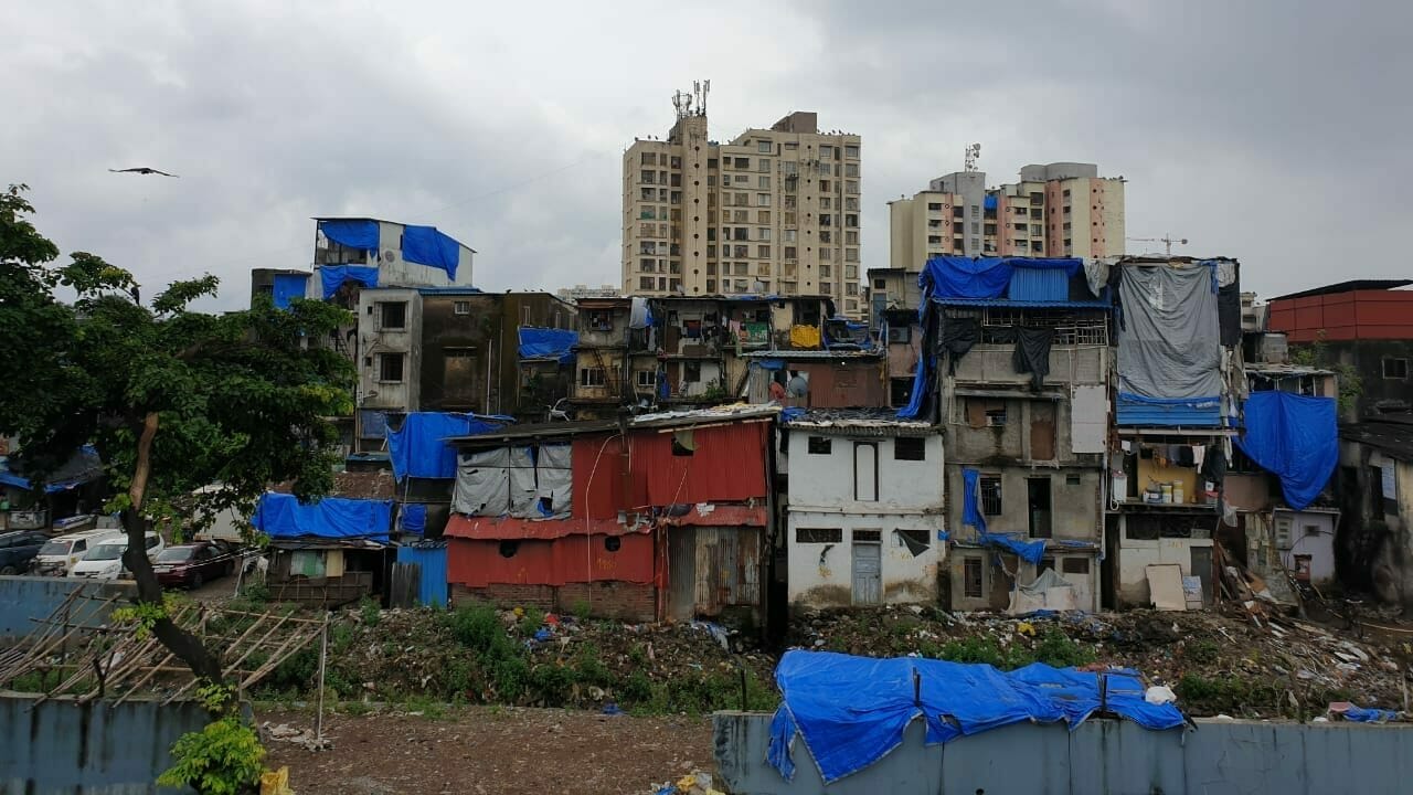
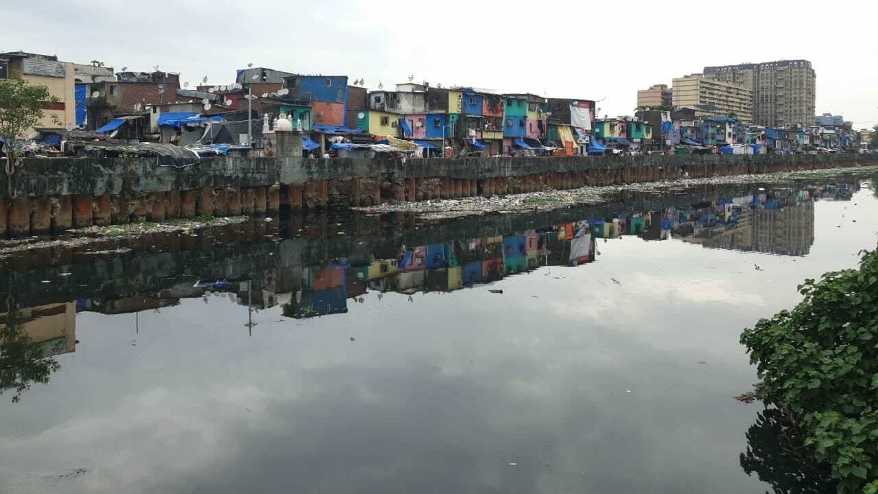
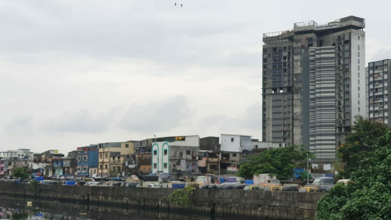
As private construction and property speculation grew in the 1990s, major brownfield developments such as central Mumbai’s mill lands also suffered extreme densification. Similarly, planning for slum areas in the city has often focused on slum clearance to pave the way for other construction, instead of providing amenities and road and transport infrastructure to these areas.
“Is addressing inequity one objective or the main objective of the plan? Is achieving international benchmarks, on open spaces, access to amenities, etc, an objective?” asked Bhide. “Or may we imagine two levels of planning—one land zoning plan and a set of decentralised local area land use plans? The objectives of planning for Mumbai are themselves contested.”
Outdated laws, ambitious planning
Masterplans are statutory instruments, but 65% of India’s 7,933 urban settlements do not have a masterplan, leading to piecemeal and haphazard development.
In contrast, Mumbai’s DP has gone well beyond a land use plan or zoning plan, providing for heritage conservation, water supply, preventing pollution, creating gender-friendly public spaces, etc. “But the legal mandate remains the same,” said Idiculla, “meaning that many big provisions and ideas proposed in the plan are an unenforceable aspect of the plan.”
Traditional wisdom dictated that the State plans for the city, keeping public interest in mind. In Mumbai, said Prof Bhide, where there is extensive private ownership of land, development plans that require the State to acquire land to build amenities have had limited success.

On how to raise resources to implement a plan, Bhide said Mumbai has left too many things contingent upon the market, through FSI and TDR. “These tools may have outcomes that were never envisaged by the plan, such as the extreme densification of central Mumbai,” she said.
Through higher FSI for various special projects, including redevelopment of old buildings and chawls, the total built area in Central Mumbai continues to rise, a boom that began with the redevelopment of the old mill lands in Parel, Lower Parel, Lalbaug, Worli, etc. FSI, known internationally as Floor Area Ratio, is the ratio of built-up area to the total plot size, and is also offered as an incentive for development that builders in Mumbai may otherwise find less appealing, such as slum redevelopment projects.
The laws governing urban planning are outdated too—most state legislations on urban planning continue to be based on the union government’s Model Town and Country Planning Law, 1960 which is itself derived from the British Town and Country Planning Act, 1947. “The UK itself has discarded those laws and adopted more dynamic systems,” said Idiculla.
The Constitution Amendment Act (74th Amendment) in 1992 directed that urban planning functions be transferred from states and union territories to elected urban local governments. In Mumbai, however, with the MMRDA, SRA and other agencies drawing up plans in addition to the BMC’s masterplan, there is often overlapping of functions and poor accountability. Their plans are often not in consonance—disagreements have erupted in the past over which agency is responsible for specific stretches of potholed highways, for example.
These legislations call for a top-down pattern of planning, focus largely on spatial plans and are ill-equipped to deal with new concerns such as planning for the climate crisis, or planning based on social equity.
This article is the first in a series of articles on Urban Planning in Mumbai, supported by a grant from the A.T.E. Chandra Foundation.