Very often, when we speak about the pollution caused by the industries in North Chennai, we tend to limit it as a ‘North Chennai’ problem. Is it really so? Does it have no impact on the other parts of Chennai?
Several reports including the Intergovernmental Panel on Climate Change (IPCC) report and Greater Chennai Corporation’s Chennai Climate Action Plan point out that Chennai will experience extreme impact due to climate change.
Meanwhile, development projects like ports, Thermal Tower Plants, and other industries that create a huge impact on land, water and air are being planned and proposed in addition to the existing ones.
To understand the local impact of climate change, Chennai Climate Action Group (CCAG) conducts a Climate tour – dubbed the toxic tour – to North Chennai.
Starting with Nallathaneer Odai Kuppam, the toxic tour covers seven important spots in the Ennore-Kattupalli region. The tour helps participants understand coastal erosion, the history of Thermal Power Plants (TPPs) in Ennore, resettlement colonies, environmental degradation due to TPPs and the importance of wetlands, floodplains and sand dunes.
Read more: How has TNPCB failed North Chennai?
The curious case of a submerged fishing hamlet in Chennai
The half a day trip starts with the participants observing the change in the air that we breathe as we enter the North Chennai region. The air carries the smells of fly ash, LPG, fuel and sulphur.
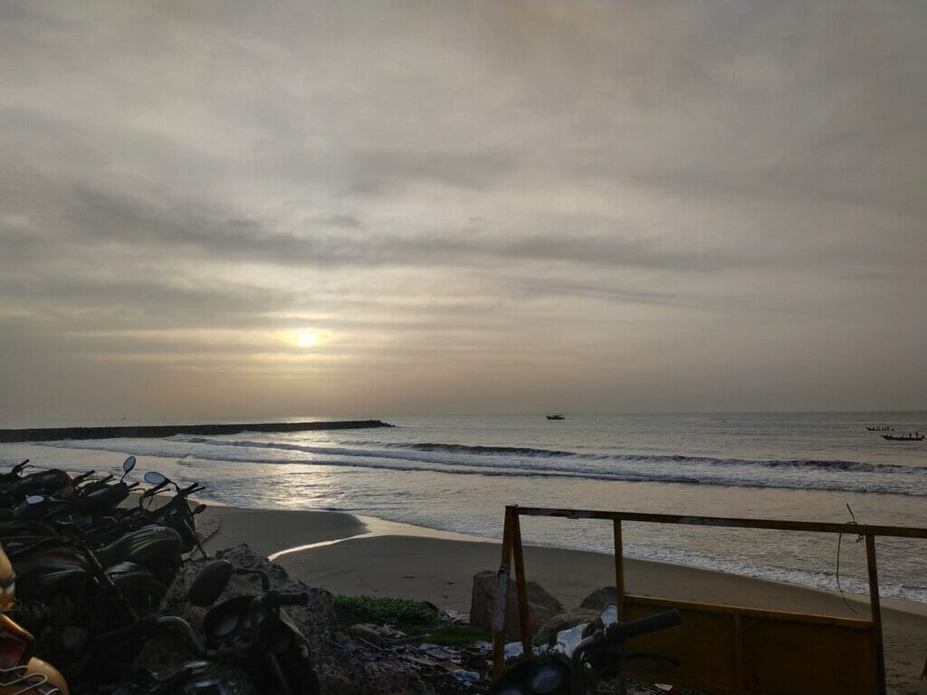
The first stop of the tour is at Nallathaneer Odai Kuppam, near the Chennai Port. Here, the participants were asked to observe their surroundings for a while before the curator of the tour and Co-Founder of CCAG, Prasanth J described what the area once used to be.
Prasanth says the term ‘Kuppam’ means a fishing hamlet. Unlike the Marina or the Besant Nagar beach, there was no sign of a fishing hamlet anywhere near the shore.
Interestingly, the shore here was very narrow and the land began almost right after the waves.
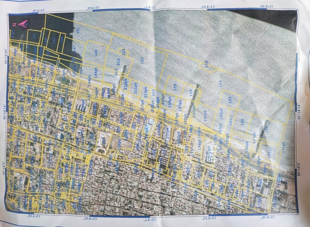
Prasanth says that the fishing hamlet that used to be present was lost to the effects of the construction and activity in the Chennai port.
He says that Chennai has three major rivers namely Cooum, Adyar and Kosasthalaiyar.
The wind flows from south to north for eight months in a year. Naturally, the sand from the Marina beach should have been accumulated at Nallathaneer Odai Kuppam.
However, due to the construction of the Chennai port, the accumulation of sand ceased.
Eventually, the shoreline towards the north has become narrow with almost no sand at all.
The sand on the beach plays a major role in preventing the intrusion of saline water into the groundwater. Due to the absence of sand on the shore, the saline water has intruded into almost a six km radius in the region.
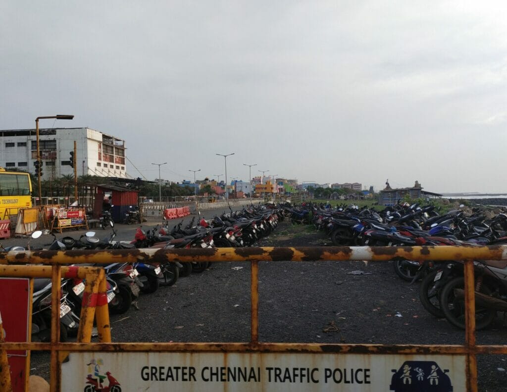
Burma Nagar impacted by operation of thermal power plant
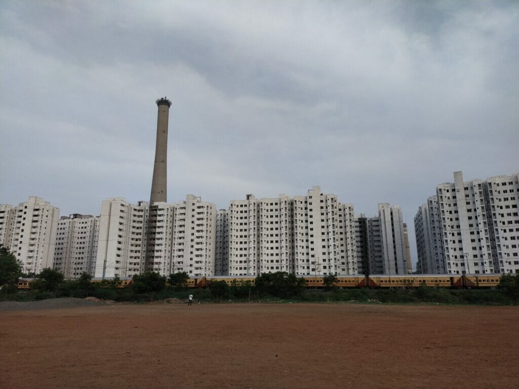
The next stop was the playground in Burma Nagar near the first Thermal Power Plant (TPP) in the region.
The air in the region has turned toxic due to the operation of the TPP. This has had a huge impact on the lives and livelihoods of residents in the surrounding areas.
North Chennai has a sporting culture that is focused on athletics and boxing and has produced illustrious sportspersons.
“However, the air pollution caused by the industries and TPPs in North Chennai has made it hard for the people to even breathe here. This has affected the stamina of sportspersons and hampered their careers,” says Prasanth.
“Further, air pollution also has a huge impact on the health of the people. Cases of cancer, tuberculosis and respiratory problems have been on the rise in the region,” he adds.
Read more: Ennore power plants violate emission norms, pose serious health risks: Study
The playground in Burma Nagar also has huge buildings that are yet to be occupied by the people. According to the information accessed by the CCAG, as many as 6,800 dwelling units have been constructed to resettle people from different parts of Chennai.
“While the government did not provide any information about whom they are going to allocate the dwellings to, it is expected that the government will relocate the evicted people from various regions of Chennai to these dwelling units. This will have a huge health impact on the residents moving in as they are not used to breathing the toxic air as much as the people who grew up in the region do,” he adds.
Sights along Ennore Creek Bridge
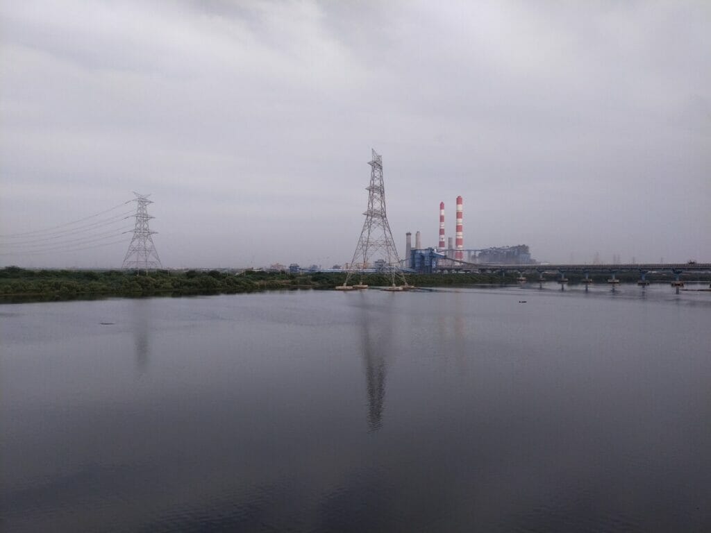
The view from the Ennore Creek Bridge shows the Vallur Thermal Power Station, North Chennai Thermal Power Station, Ennore estuary, mangroves, fly ash pond and the petrol refineries in Manali.
Read more: These six industries in North Chennai are polluting the air for more than half the year
During high tide, the seawater flows towards the river and during low tide, the river water flows towards the sea at the estuary.
Mangroves form naturally in such regions where fresh water and salt water get mixed. These mangroves play a major role in controlling waves and retaining the salinity in the water. It is also the place where the fish thrive.
Due to the establishment of the TPPs in this region, the construction of bridges in the river and the establishment of a fly ash pond, the water from the Kosasthalaiyar River is prevented from entering the sea.
“Thus, the water carried by the Kosasthalaiyar river during rains floods the region. We call this climate change whereas the truth is it is a man-made disaster due to industrial pollution in the northern part of Chennai,” explains Prasanth.
Ash pipeline along the roads
Fly ash from the TPPs is another key source of pollution in the area. The participants of the tour witness firsthand the improper transportation of fly ash through old and rusted pipes, leaving much of the ash to accumulate at various points outside the pipe.
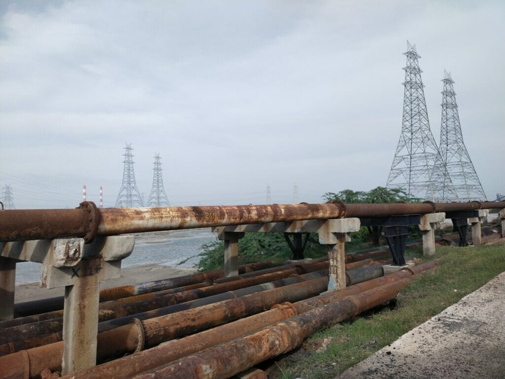
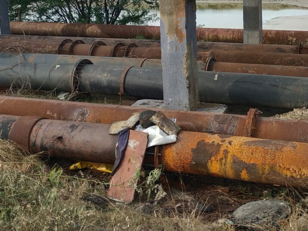
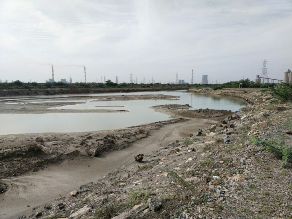
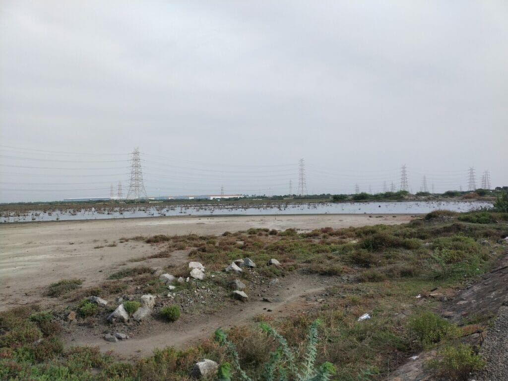
Such is the extent of the pollution caused by fly ash that even the ‘Veli kathan mul maram’ a type of tree that can grow in places with inclement weather and unfavourable conditions cannot survive in the polluted land here.
“The fly ash in the pond runs as deep as six to eight feet and is mixed in the air, water and the land here,” adds Prasanth.
Is the pollution in north Chennai a ‘north Chennai problem’?
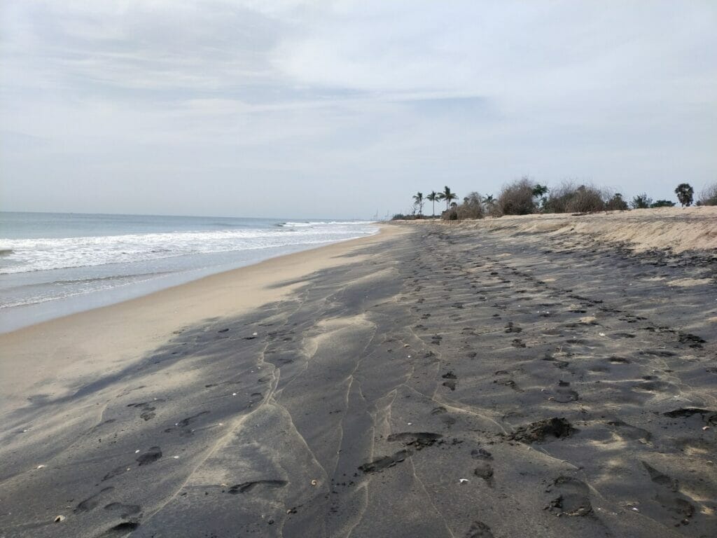
As seen in the case of Nallathaneer Odai Kuppam, where a fishing hamlet disappeared due to the construction of the Chennai port, Prasanth says, that a similar impact will be seen in this region. However, unlike the previous case, the landscape here will be affected within a period of six months after the port construction. The sand dunes inside the sea prevent the land from submerging now but when concrete structures are built inside the sea, those sand dunes will be affected.
“It will affect the livelihood of the entire region. Since there are no trees in the region to prevent saline water intrusion, the groundwater will get contaminated,” says Prasanth.
“Besides, it will also lead to flooding during the rains, not only in the north Chennai region but also across all parts of Chennai. As many as ten lakh people will face the impact of the port construction both directly and indirectly,” he adds.
The air pollution in north Chennai is very much visible. But does air know no boundaries?
The air we breathe in south Chennai might seem clean but those who live away from here are also breathing the same toxic air.
“Same is the case with water pollution. Rivers are like a nervous system. Once it is polluted in one region, it will affect the entire stretch,” says Prasanth explaining how the pollution in north Chennai is not a ‘north Chennai problem’ but a ‘Chennai problem’.
At the end of the tour, the participants perhaps left with more questions than before.
What is development? Who does it benefit in the original sense? Is it fair to sacrifice the lives of a few for the good of many or are we sacrificing the lives of many for the good of the few?
