There is not even a name for it, not Sangama, not anything, but just Kudlu… the meeting point. Here the Vrushbhavathy, which rises from the Bull Temple in Basavangudi, Bengaluru meets the Arkavathy, which rises from the Nandi Hills range.
Urban rivers have become ‘nullahs’ carrying sewage, the rural rivers—if you can even call it such—are dammed for urban water needs, for irrigation and for electricity.
The Arkavathy is born here.
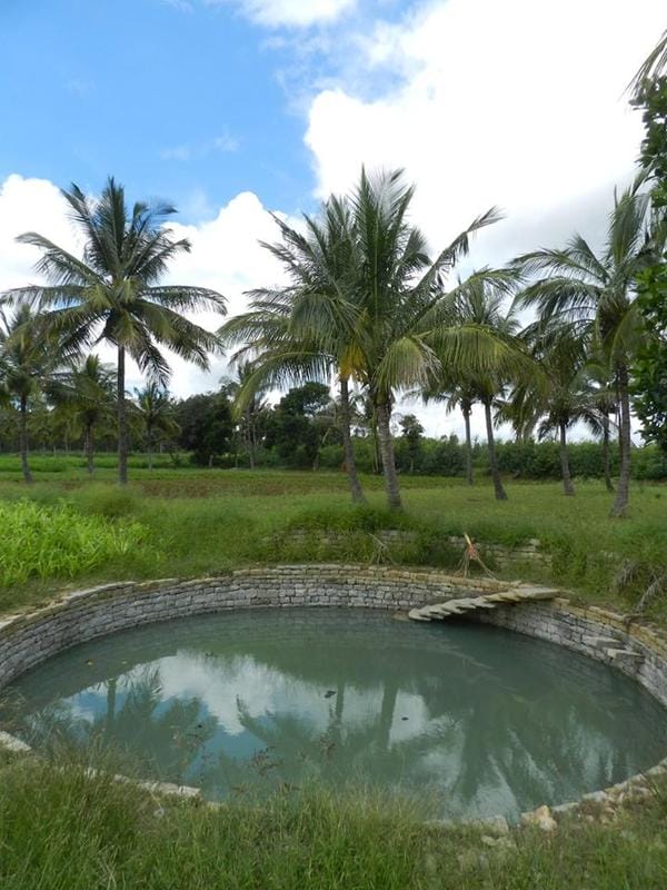
At the birth place of the river, the well water is full and clean…
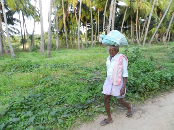
The gentleman has been crossing the Arkavathy daily for the last 50 years… he wades across it. He remembers the time when the river flowed wide and clean, and throughout the year.
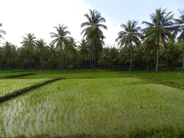
The paddy and coconut give a lush appearance. It is a time of drought in the rest of Karnataka, but here the rains have been good… and there is the river for water.
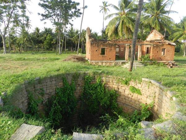
An old ruined building looks on… what must it have seen through its life. The well in front of it is now dry and filled with rubbish. This is almost at the confluence of the tributary and the mother river.
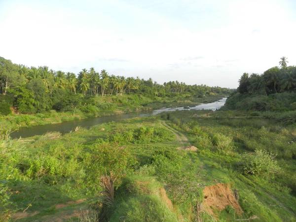
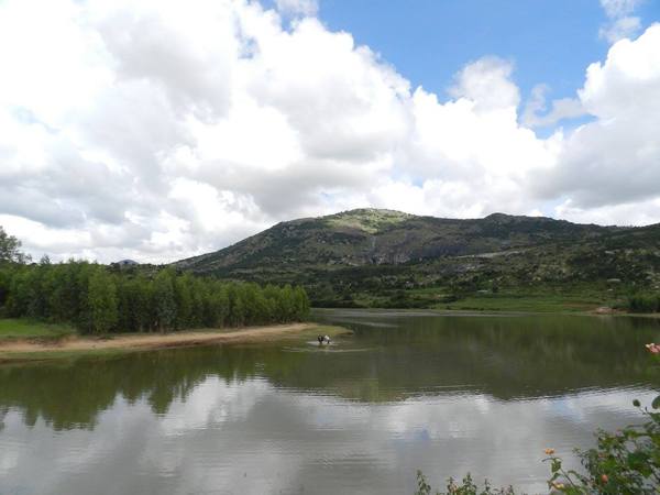
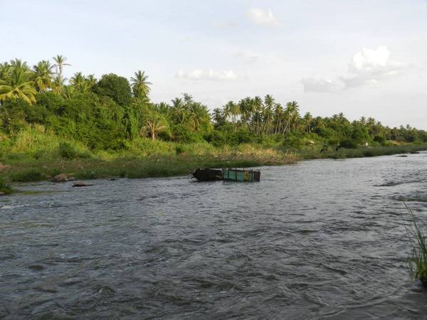
From the left the Vrushabhavathy flows perennially. The sewage waters from the city of Bengaluru ensures this perenniality, nature however cleans up as best as she can along the way. The water is not smelly, but one can clearly discern the nutrients. On the right is the Arkavathy, dammed at many places to provide water for the city of Bengaluru. This has very little flow of water, yet the water here is cleaner.
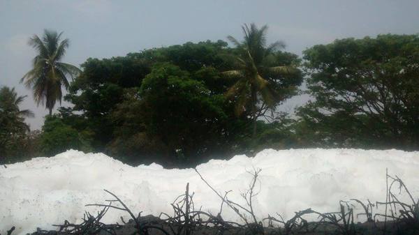
Like a typical urban river at a reservoir called Bairmangala… this is the state of the Vrushbhavathy.
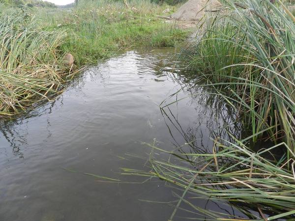
The clean , fresh water stream that is the Arkavathy.
… and the gushing stream that is the Vrushabhavathy.

Sand mining has brought down the river bed by at least 12 feet. It still continues, albeit in small quantities, as with this enterprising farmer.
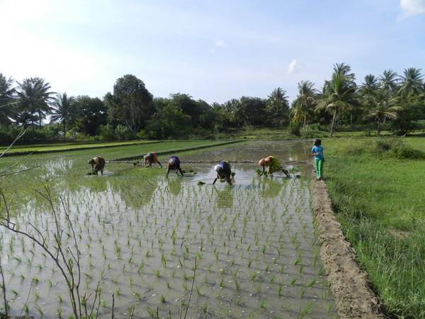
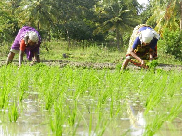
From what we would call waste-water, grows paddy in the fields nearby.
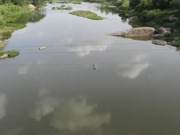
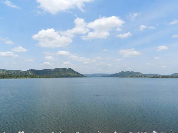
The river reflects clouds, but it is dark times for rivers.
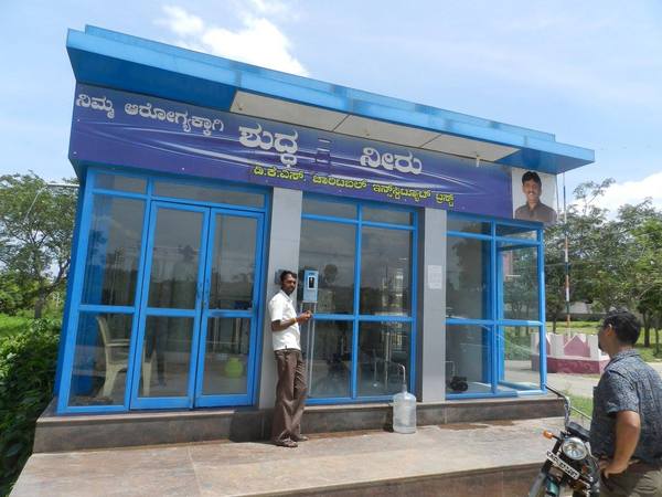
The bad waters have killed groundwaters, rendering them unfit to drink. Technology springs to the rescue with this spanking water ATM… drop a one rupee coin and get 10 litres of clean water… as for the rejects…?
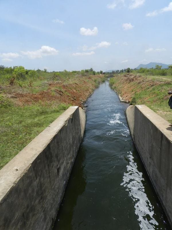
… and in the channel flows the waters of a city and of a river… for mulberry, sugar cane, maize, coconut.
… and rice will be grown, as it has been for time immemorial, from the waters of the Arkavathy.
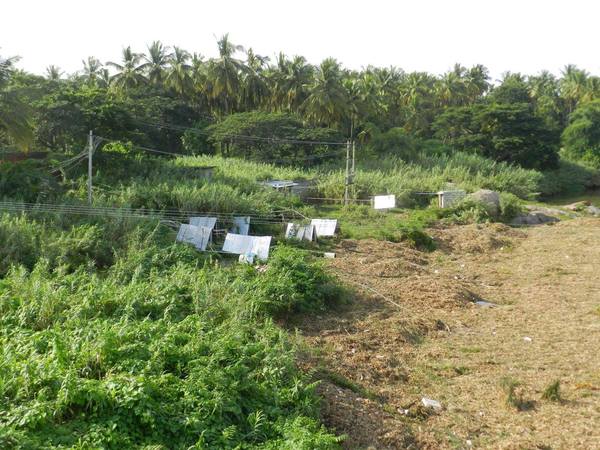
These tin sheds hide pumpsets, which directly pump water from the river into the fields nearby.
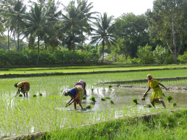
…and the waters grow rice.
The mighty Arkavathy, dammed.
The pictures and text were first published on the author’s Facebook page, and have been republished here with permission.
Related Articles
Arkavati, Kumudvati: In deep trouble
In pictures: Bellandur lake’s fire and snow
Where does Bangalore get its water from?
Nice article with good illustrations
Nice and informative about water Bodies around Bangalore