Strange as it may seem, the bustling traffic on Arcot Road, a State Highway feeding into Porur, has been redirected since May 6 via densely populated residential neighbourhoods in Kodambakkam and K.K. Nagar, among other places, to facilitate work on the 118 km Phase II of the Chennai Metro.
Everyone is reconciled to this two or three-year upheaval as unavoidable pain to construct mass mobility infrastructure. As Chennai Metro says, it is ‘inconvenience today for a better tomorrow’.
The story is no different in parts of T. Nagar, Mylapore, and Alwarpet, although the traffic there is not at highway scale, and there will be more localities joining this list in the coming weeks as CMRL, Highways and the Greater Chennai Corporation (GCC) pursue Metro Rail, overbridges and other assorted projects. The topsy-turvy traffic in areas like West Mambalam due to stormwater drain construction remains unresolved. Among the victims facing the axe for drain work are some mature, stately trees.
Yet, none of the agencies seems to have put their minds to the job. This stands in contrast to the type of disruption experienced along Anna Salai and EVR Salai (Poonamallee High Road) during Metro Phase I.
Although those sections too were disrupted and had severe bottlenecks at station construction points, CMRL took care to ensure that every restricted part had a usable road path for vehicles and walking barricades. Perhaps these are used often by VIPs, hence the extra attention.
Read more: How civic work in Chennai affects daily life of residents in surrounding areas
Growing blind spot during times of infrastructure work in Chennai
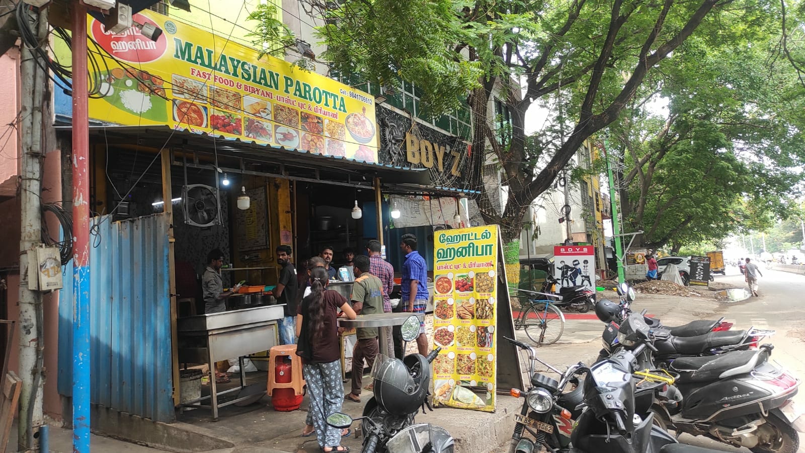
During the last decade, roads in Kodambakkam – Viswanathapuram Main Road and Rangarajapuram Main Road in particular – have been severely encroached. Although they today carry an unprecedented diverted bus traffic of hundreds of services honking their way through, these roads lost their status as bus route routes during that decade, as all MTC services were withdrawn.
Shops along the roads have obliterated the pavements, piling their materials on the footpath, and pedestrians are forced to walk on the carriageway, watching out for vehicles including buses. The roads are no-go areas now for the elderly, children and the disabled.
CMRL has not provided usable, segregated walking lanes along its work areas during Phase II. Neither has it looked at the state of roads absorbing diverted traffic.
When a Twitter handle provided pictures of Arcot Road at Vadapalani in the early phase of Phase II work, showing pedestrians squeezed to the margins without safe spaces, CMRL responded with a temporary walking path segregated with traffic bollards.
But those arrangements quickly disappeared. The situation is no better in Valasaravakkam and other western suburbs where pavements along Arcot Road have completely disappeared along with bus shelters and trees.
The Greater Chennai Corporation (GCC) should have been tasked with retrieving all footpaths in the areas meant to absorb the newly diverted traffic, but that has not happened.
In fact, parts of the roads mentioned above had no walking space at all even before the diversion arrangement kicked in, and things have become staggeringly difficult since.
Can Chennai’s transport regulator, CUMTA, provide remedies to these basic issues through its new software-modelling approach – it has reportedly acquired two software packages to model the traffic patterns and suggest remedies for traffic flow for Metro construction areas – when it has not addressed the plain old systems such as usable pedestrian infrastructure?
Can CUMTA bring pressure on the GCC to get its act together on issuing hawking licences under the Tamil Nadu Street Vendors (Protection of Livelihood and Regulation of Street Vending) Rules, 2015 and regulate the sector, improve local connectivity to suburban railway stations and existing Metro stations immediately to achieve a modal shift where passengers will take more trips by these options rather than using personal vehicles?
Read more: Citizen Clinic: Ways to solve civic issues in Chennai
Commuters pitted against agencies in Chennai
The State Transport Department and Chennai MTC have just finished fighting a prolonged battle in the Madras High Court against disability advocates, who got the court to defer the process of procuring public buses through the Institute of Road Transport until these were designed to be disabled-friendly.
A more conciliatory approach would have helped augment bus connectivity in Chennai by now, and relieved some pain points of last-mile connectivity.
These failures happening under the watch of the DMK government, which has a strong position on bus service expansion unlike the AIADMK which delayed introducing mini-buses in Chennai, threaten to sap the city of its productivity in the months ahead unless remedial action is taken urgently.
The GCC can belatedly repair the pavements and remove obstructions and encroachments during the summer when students are on vacation. The holidays will end soon.
Ironically, a lot of the diverted traffic now passes through areas with heavy school presence, though Chief Minister M. K. Stalin’s first instructions after the very first meeting of CUMTA was to strengthen school zone safety.
National Crime Records Bureau data show that the vicinity of educational institutions is the site of many serious accidents in Tamil Nadu.
As the head of CUMTA, the Chief Minister, who came up with the “Nadaipathai Nadappatharke” (Pavements are for walking) slogan in an earlier era could immediately conduct a review of the situation in the under-construction Metro segments and surrounding roads where traffic has been diverted, covering areas such as Alwarpet and Rangarajapuram, Valasaravakkam and Vadapalani.
This is bound to infuse some dynamism into CMRL and GCC operations and cut through the indifference.
Aswathy Dilip, South Asia director of the Institute for Transportation and Development Policy (ITDP) had this to say when asked about the importance of pedestrian infrastructure in and around Metro Rail project areas: “As Chennai focuses on expanding its Metro network, pedestrian access from a 500-metre radius of every station is a crucial point to consider. Wide and continuous footpaths and safe at-grade intersections with pedestrian refuges must be implemented on all Metro corridors and the bus route roads that lead to these corridors. The other streets should include traffic-calming elements, organised parking (if any), a continuous tree cover, and adequate lighting.”
The infrastructure works that have turned much of Chennai into a giant construction site are expected to continue for another three years in most places.
Some suburbs are also on the map, such as Porur-Poonamallee, OMR and Madhavaram.
The pain of construction may be inevitable but can be infinitely eased with temporary measures for safety and productivity.
People deserve safety and the economy demands efficiency.
(This story was first published in Inmathi.com and has been republished with permission. The original article can be found here.)